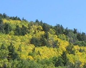
Forestry research
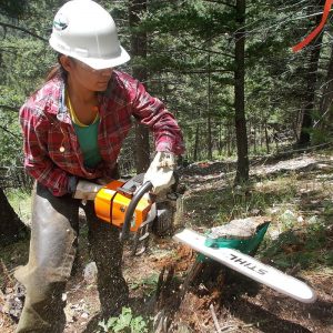
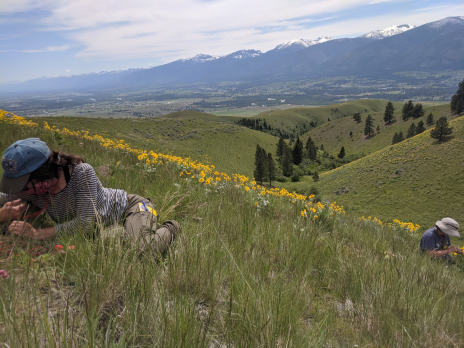
Students in NAU forestry programs expand their learning
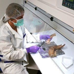
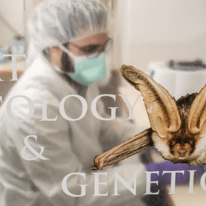
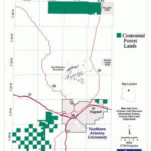
In addition to being one of the best forestry schools in the nation, the NAU School of Forestry is also a leader in forest research. The School of Forestry offers on-campus labs for experiential learning opportunities as well as the Centennial Forest for on-site experiences.
A look at our unique labs!
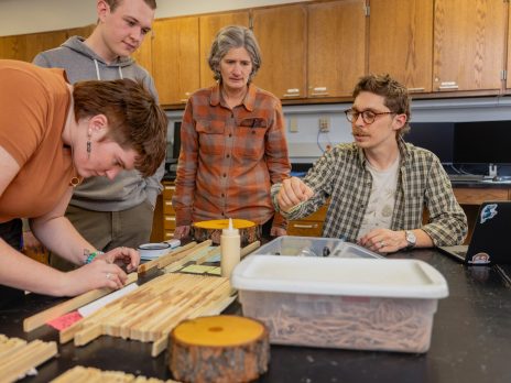

 Wood Science and Biometrics Lab
(under construction)
Wood Science and Biometrics Lab
(under construction)